
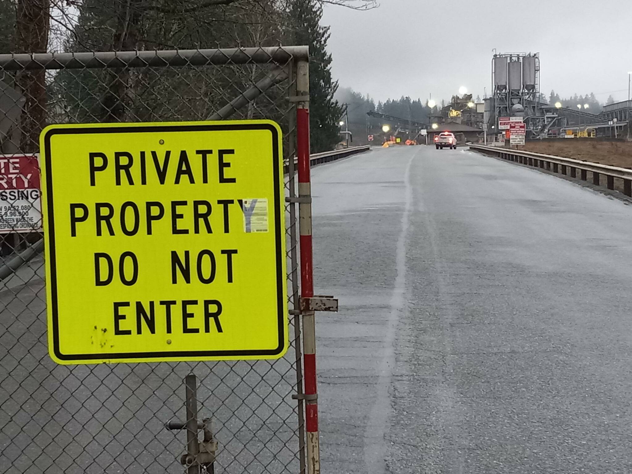
For 40 years, developers and builders have used the gravel and rock mined from the Icon pit at 1875 Kersey Way for infrastructure projects throughout the area.
But the pit is now close to exhausting its resources, and its owner, Segale Properties LLC, has announced plans to close the mining operation in 2026 or 2027 and redevelop the land.
All 876 acres of it, which makes it comparable in size to Lakeland Hills.
On Feb. 10, council members met with Alexandria Teague, director of planning services or the city of Auburn, Steve Sturza, the city’s assistant community development director, and Mandi Roberts, principal planner for Otak, the city’s consultant for the project, in a study session to discuss an agreement between Auburn, Segale Properties LLC and Otak for the preparation of a sub-area plan.
And on Feb. 17, the city entered into a contract with Otak to have it prepare such a plan.
Whatever shape the project takes will remain an unknown for several years. But whatever the answer, the sprawling, complex project will encompass not only the pit, but also the existing Stuck River Road sub-area and the Mt. Rainier Vista sub-area on the plateau to the south, of which Segale LLC is the majority landowner.
Given that, the project — south of the Green River, across from Game Farm and Game Farm Wilderness parks, and northeast of Lakeland Hills — will be something like a new miniature city, with open spaces, parks, different types of housing, and trail systems all potential components.
Otak anticipates completion of the planning effort and associated environmental impact studies by September 2025, with city adoption to follow.
Teague said an individual or sub-area plan of Auburn’s comprehensive plan will guide development. The 2024 update to the city’s comprehensive plan identified the site as “a growth area.”
“We made assumptions that the specific infrastructure would be considered to accommodate growth in that area,” said Teague. “The development of these sub-areas could help ensure that it accommodates our required share of regional growth, 12,000 housing units and 19,500 jobs, though the numbers and types of jobs will likely be re-evaluated as the project progresses to help us meet our future growth targets.”
The potential land uses listed in the Auburn Comprehensive Plan for the site number residential, commercial, institutional and recreational uses, with light industrial also potentially appropriate with an industrial or business park. Development will not occur, however, until adequate public facilities are available.
Among the broad re-development possibilities are:
A large, mixed-use master planned development with significant residential density, a commercial/retail “town center,” regional park development and an associated trail system, new school sites, and opportunities for professional office and employment uses. According to Segale, a project of this size and scale could help Auburn address new housing provision challenges former Gov. Jay Inslee handed down.
A large, master-planned, industrial park to support the ongoing demand for light industrial uses and manufacturing opportunities within the city. This could support parks and trails for the community and provide for a significant amount of new industrial/manufacturing opportunities, fostering a future employment center, and providing the city a long-term land supply to support the region’s important aerospace manufacturing and logistics industries.
Given sub-area Mt. Rainier Vista’s proximity to the city’s Coal Creek Springs well field, any development will have to allay concerns about storm water infiltration and protect a watershed on which everybody depends. The upshot is that the project, which envisions less dense/intense residential uses, will not allow any stormwater infiltration. The developer will also need to make urban level street improvements to 53rd Street.
Barriers to redevelopment include significant transportation improvements that will be necessary for a project of such intensity. New bridges and road-widening work on key roadways would be necessary for any re-use of increased intensity over current uses. The potential costs of necessary transportation improvement projects are not feasible for a single developer to undertake.
Potential solutions to infrastructure barriers include re-developing the site to a use that is much less intense in terms of trip generation and infrastructure demand. This would be done using new Tax Increment Financing (TIF) opportunities in the state to pay for up to $200 million in necessary infrastructure improvements. Through the planning process, the goal would be to balance the intensity of future re-development with forecasted TIF funds, grants, and other funding to help finance key necessary off-site infrastructure improvements. A TIF study will be necessary as the planning effort advances.
The city will finalize the scope of work for the planning effort and the State Environmental Policy (SEPA) and the Environmental Impact Statement (EIS) process. Communication and project management protocols will be facilitated between Segale, the city and its consultant.
Mandi Roberts, principal planner for Portland, Oregon-based Otak, said her firm anticipates its work continuing through mid-2026, comprised of five major stages: the project discovery phase, which is understanding existing resources and the work that’s been done to date; reviewing background and existing conditions; a layered resource analysis; a study of alternatives; and the SEPA/EIS process.
She said the firm would also develop a public engagement plan tailored to Auburn to include stakeholders, interested property owners and the Muckleshoot Indian Tribe.
